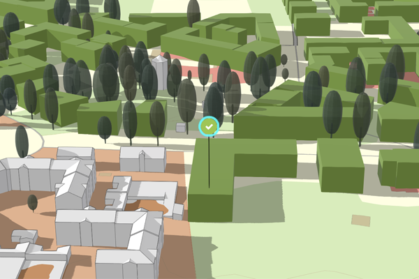
In ArcGIS Urban, a project refers to current planning of future building projects at the scale of a single site or a lot. A project has a proposed building, which can have various levels of detail. A project is a 3D model in the context of its surrounding city environment, allowing for scenario comparison and project status management.

Users with the appropriate licensing and permissions can view, create, configure, and edit projects. See Create a project, Configure a project, and Edit a project for details.